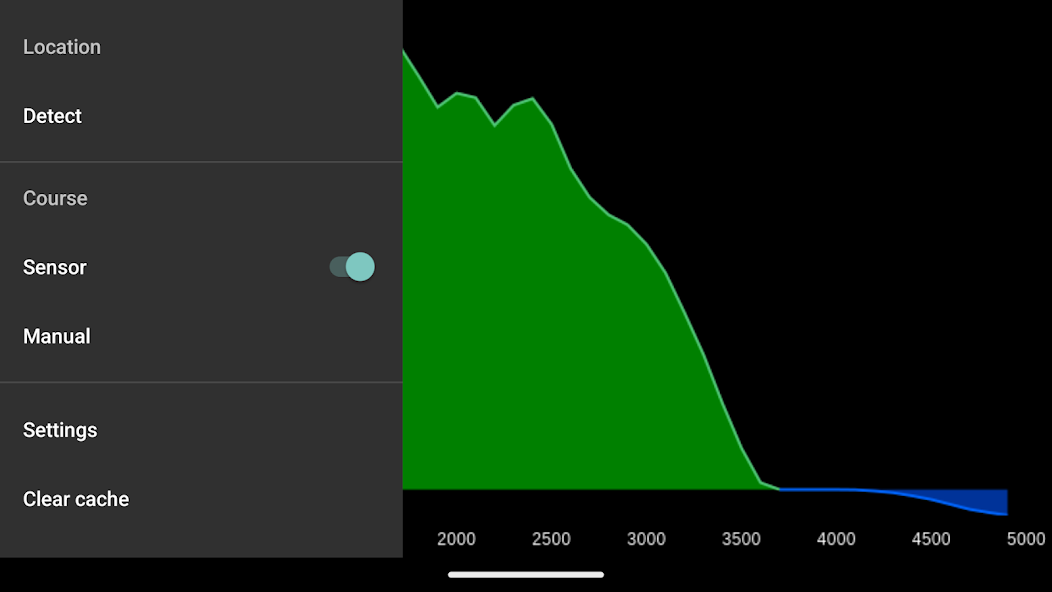
Elevation and Sea Depth
7.6
5.1
2025-01-11
Latest Version
Displays terrain/elevation profile in direction of phone.
Displays elevation and/or sea depth (terrain/elevation profile) in the direction of the phone. Useful for hiking, trekking, mountaineering and fishing.
* 5km range
* ele. pts every 10m/100m horizontally
* directions rounded to 30° steps
Hold phone on flat surface and away from ferrous metal objects and electromagnetic fields.


Copyright © 2014-2026 downdk.com reserves all rights. | Privacy Policy | DMCA Disclaimer | Terms of Service | Cooking Policy